How to use Road Maps
The Ocean Visions Road Maps are living documents and we are looking for contributors who have information that is current, accurate, verifiable and additive to edit these road maps. In particular, we are looking for information on projects and initiatives that are working to address the first order priorities listed in the road maps. Once you register, we will provide you with the ability to edit the road maps so that they are kept updated for the community interested in developing ocean-based CDR. If you would like to help in other ways, please email us at info@oceanvisions.org

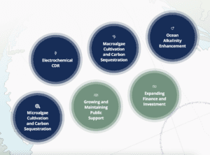
Each map contains an overview of the current status in a particular domain of ocean-based CDR; the biggest needs and gaps to forward progress; and a series of “first-order” priorities that are critical levers to advance the field.
Submit comments:
Thanks for helping to advance these roadmaps. Here is how it works!
Or, send general feedback to info@oceanvisions.org